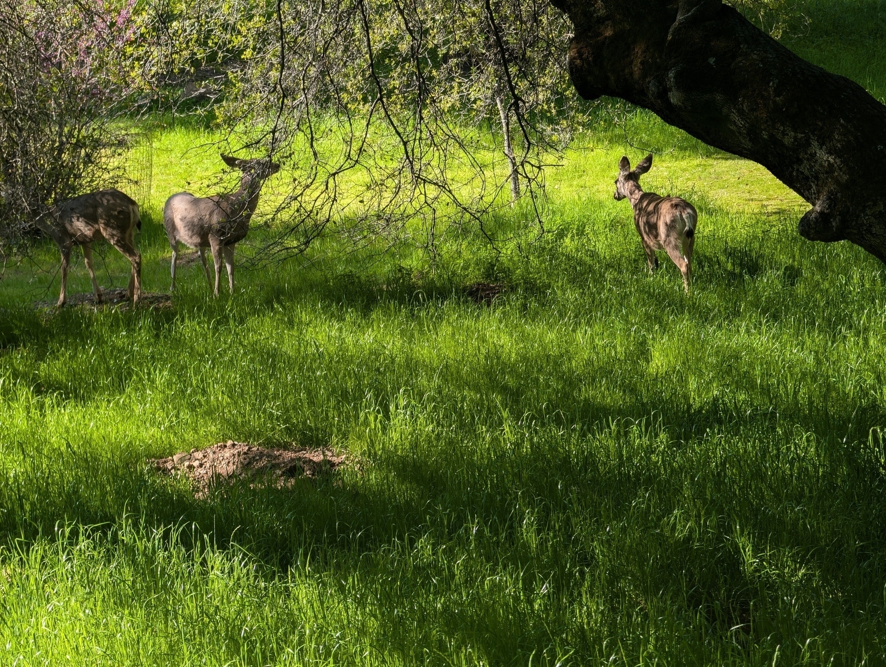
Waking up the sound of the rushing river and the sun peeking through the trees is almost enough to make me a morning person. Almost. By this point, we’re able to tear down camp in just a few minutes, packing the bikes, setting up chargers and making sure to clean up after ourselves. I ventured to the bathrooms, which were quite nice for a campground, and came across a family of deer, enjoying the forest. I didn’t get any closer but they didn’t seem to mind the noise of the people.
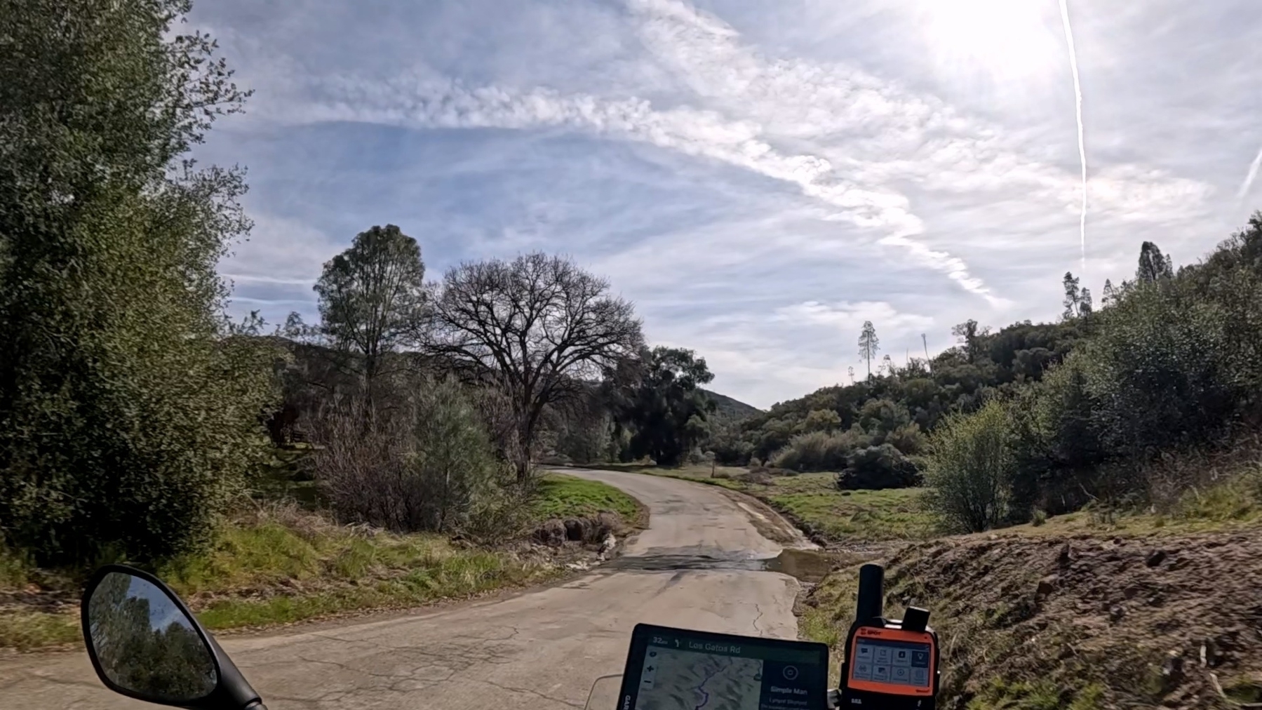
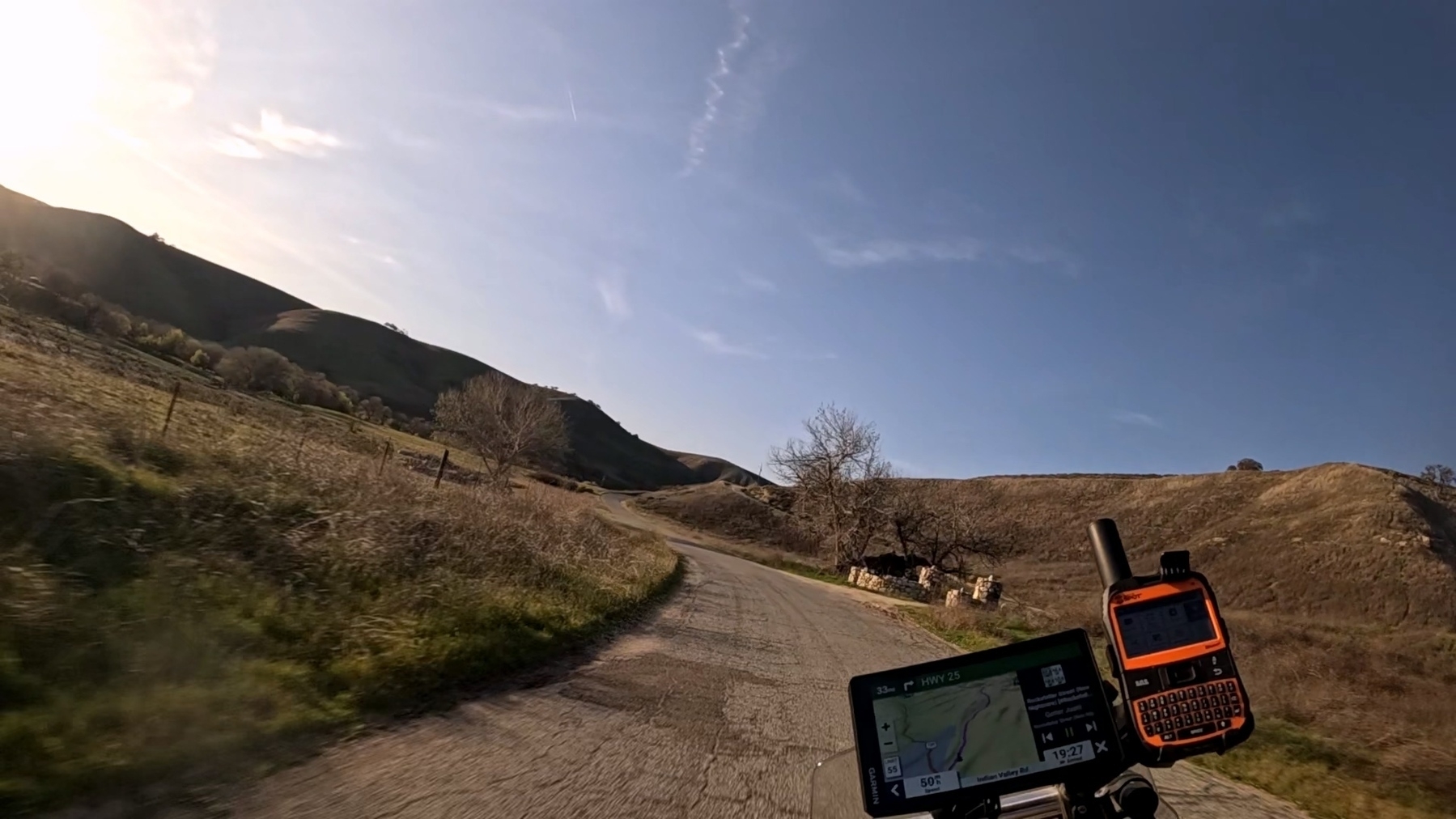
Soon we were back on the road, riding out of the beautiful Sequoia Forrest. Of course we had to stop by the park store and I got another Ranger Doug window sticker, for Sequoia. We entered the rolling foothills southwest of Sequoia and took 198 down until we could get back into the good stuff. There was some great 2 and 1.5 lane roads out here and the landscape was a lush green I just don’t get down in the Mojave.
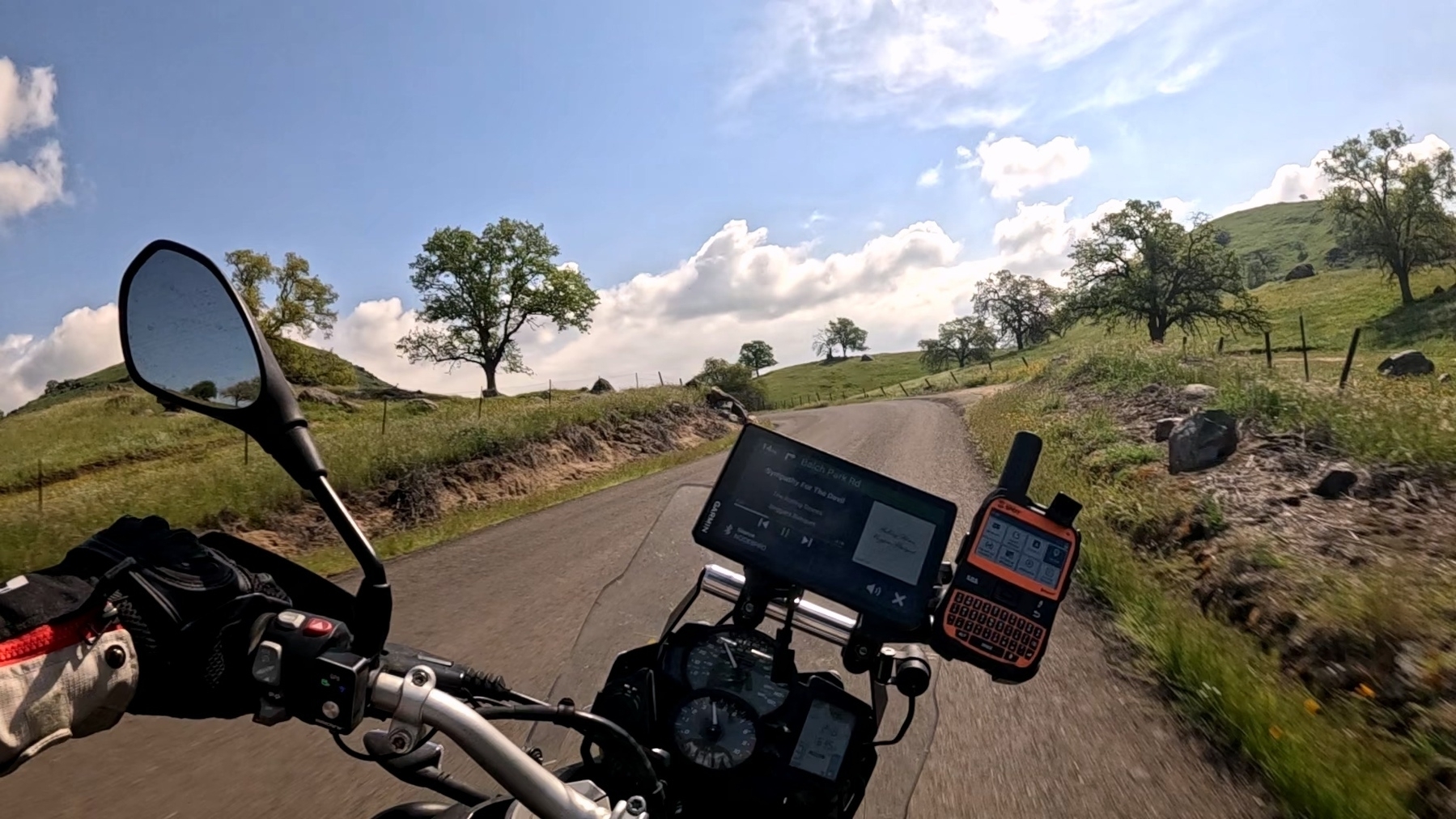
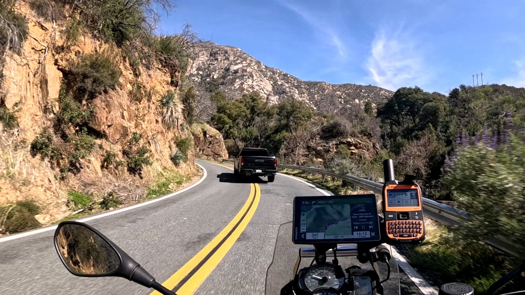
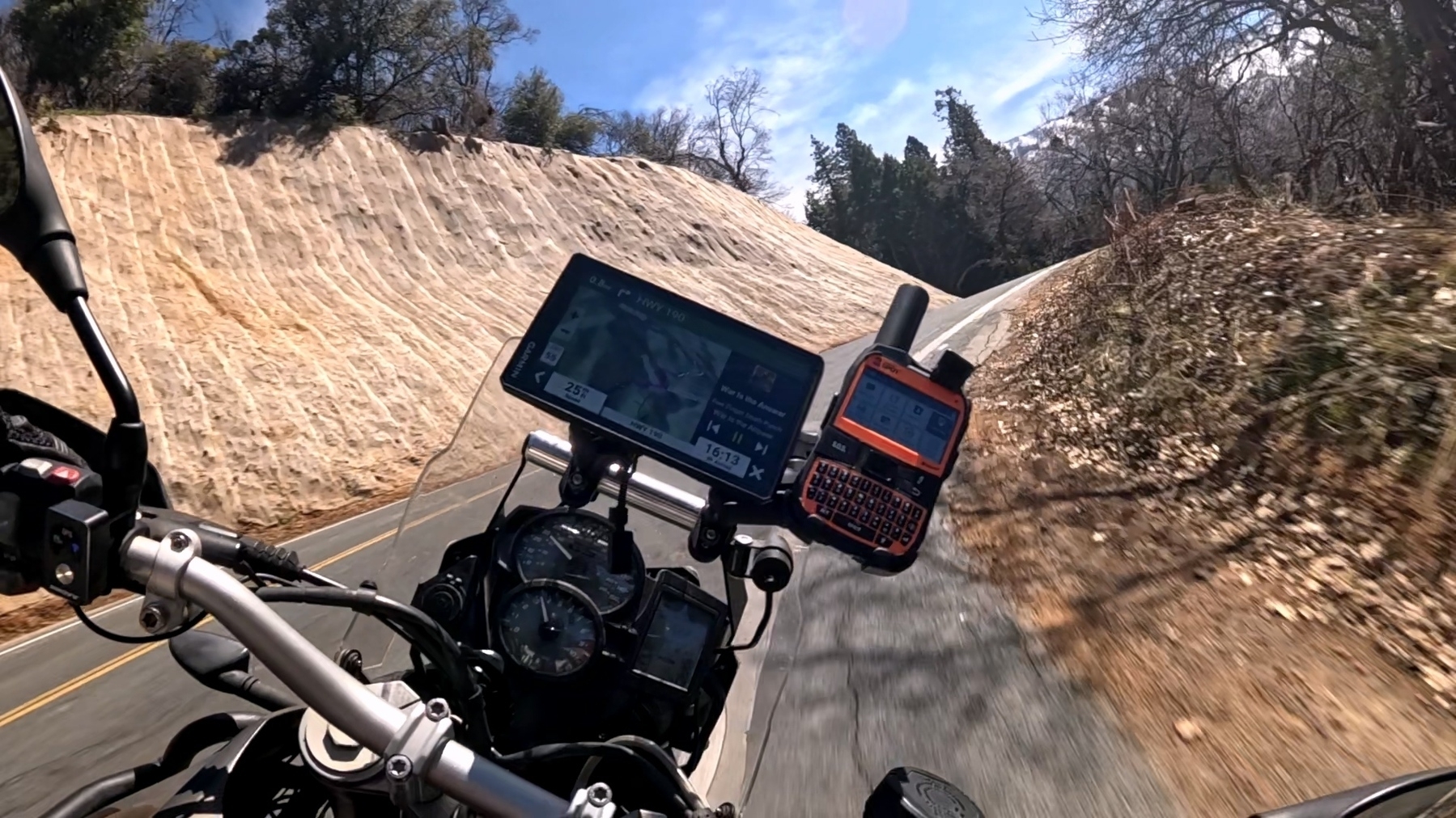
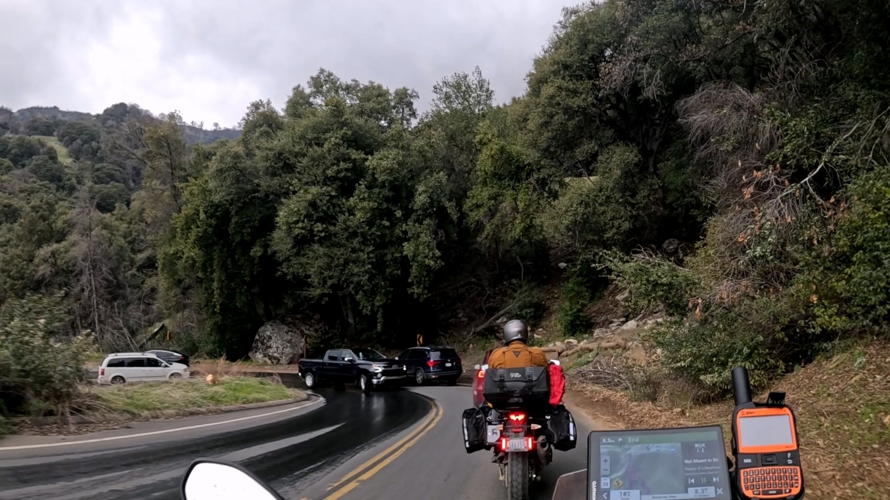
Once we got on to 190 towards Pierpoint, the road quickly went from a quiet back road to a hill climb, dozens of turns, including some pretty challenging uphill decreasing radius turns that challenged my ability to estimate a good entry speed. There were a few turns that were slightly overcooked but I managed to keep it shiny side up and stay in my lane. The same can’t be said for the cars we came across on our way up, however. I think the best way to show this sequence is with a sequence of images.
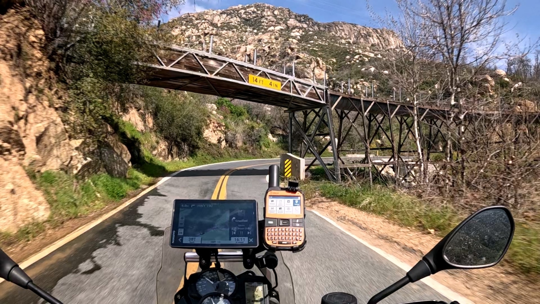
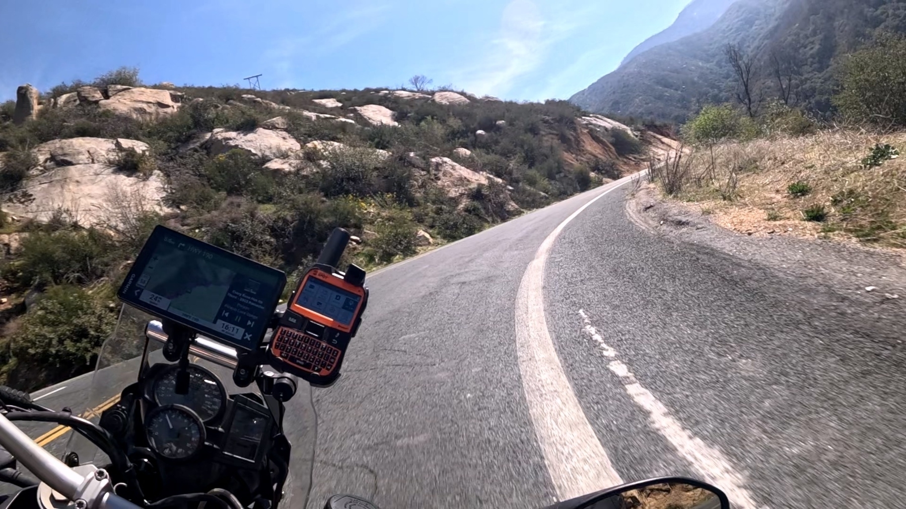

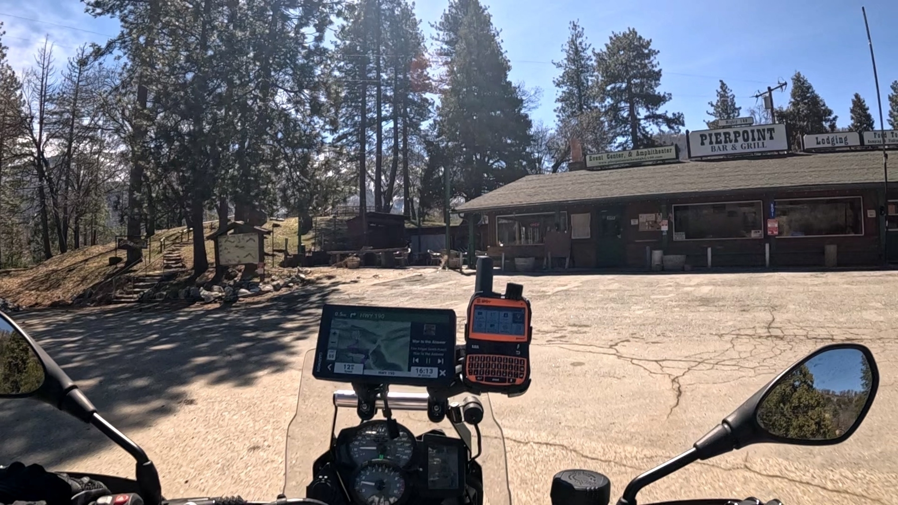
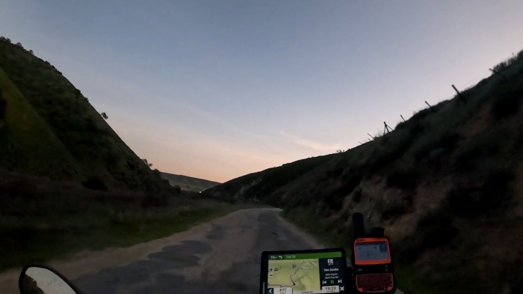
Eventually, we arrived at Pierpoint Bar and Grill, just in time for lunch. The food was fine, nothing gourmet out here in the back country. We continued out on Great Western Divide Highway (190) and quickly found ourselves back up above the snow line but with the sun out and an ambient temperature around 70 degrees, it was a beautiful ride. Another concerning sign presented itself “Road not plowed in winter.” I made a point of double checking the status of the roads and with no listed closures, we pressed on. We rode through the never ending pines and snow, up the mountains and down the valleys, enjoying the views and the relaxed riding. Eventually we made a turn onto Parker Pass road where we found the only snow on the road for the whole journey. It didn’t cover the whole road and we passed easily. As we head down towards the Kern River Valley, the snow and pine was replaced with sagebrush and stone.


The rest of the ride down into the Kern valley was smooth mountain roads. At this point Taylor and I were both tired and ready for some real beds. We consulted the map and cut across to 395 to make the ride back down to civilization. We arrived home around 5pm with plenty of time to get our clothes into the wash, have some decent dinner and I think I slept for 14 hours.
This was our first long trip together and it was absolutely fantastic. We’re already planning our next adventure, possibly the BDR route in Arizona, or Washington. Or maybe a trip up into Utah. More to come!
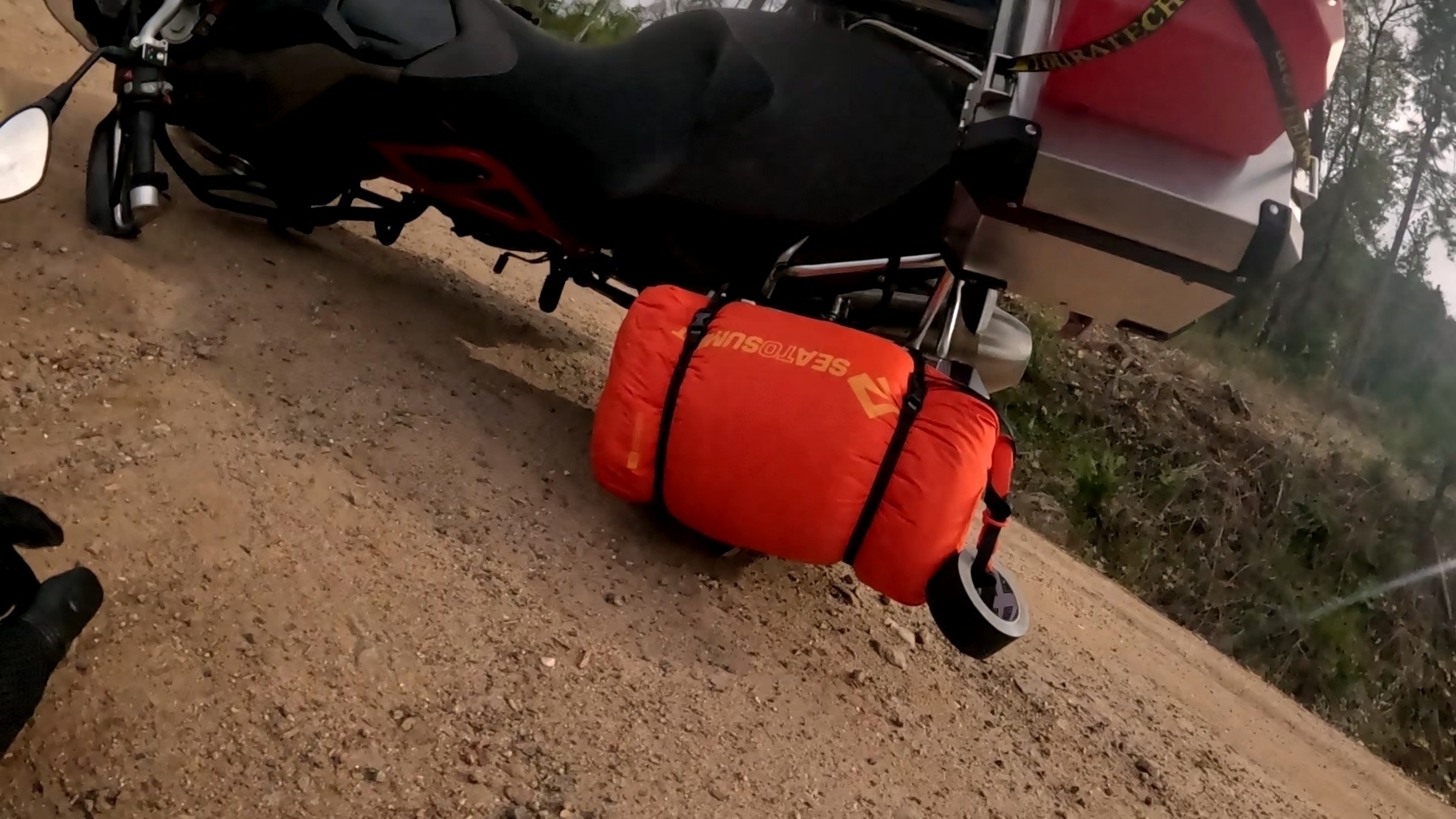
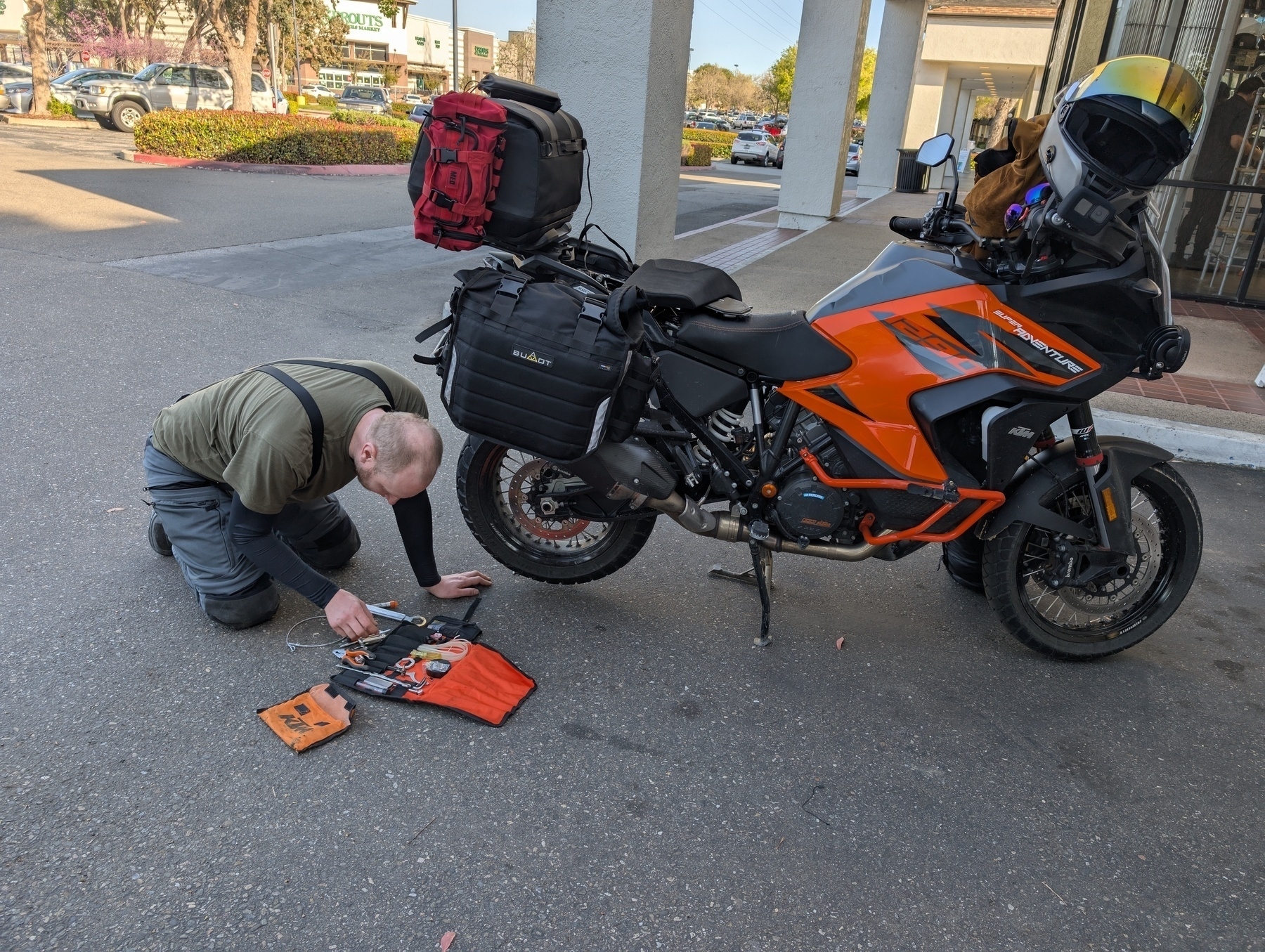
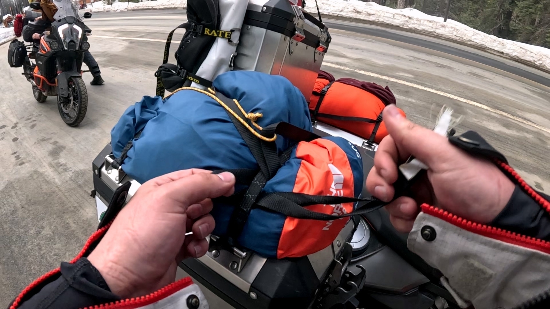
 Waking up in Lupine we discovered that while it hadn’t rained overnight, the dew had soaked the tents, ground sheets and everything else. We started tearing down and putting the tents in the sun to dry, but our ground sheets were a lost cause. I had been storing mine inside my pannier but decided, having gone through 3 liters of water already, that I could just strap it, along with my camp shoes, to the water bottle holder on the outside of my panniers; this turned out to be the better option overall as it made repacking easier. After making some breakfast, the tents were reasonably dry and we packed them up. Since we did not have power at this campsite, I had to charge my GoPro, Cardo, SpotX, and phone off my portable charger. This worked great, and everything was charged up, but my portable charger was down to around 25%. I did not think too hard when I was packing about how I was going to charge the charger but quickly realized I could run a USB cable from my power port on the bike, under the seat and into one of my panniers. This was just as janky as it sounds but got the job done and charged up my power bank over the day of riding.
 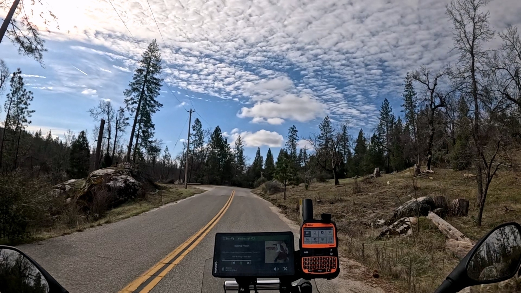 The ride out of bass lake towards Sequoia was nothing short of incredible. The slog across the Central valley yesterday was completely forgotten as we put down miles on extremely well maintained 2 lane roads. Only an hour into the ride, we came across, strangely, dead stopped traffic. It slowly crept forward and we could not split, or pass as the shoulder was non-existent and the middle line was a double yellow. After what felt like hours, but was maybe 20 minutes, we came to the source of the frustration. A Tacoma seemed to have misjudged a turn and found itself in the woods, a CHP officer was attempting to clear the scene as the tow truck driver traipsed through the woods trying to hook his winch to the embroiled tacoma. Once we were passed the mess, we made great time.
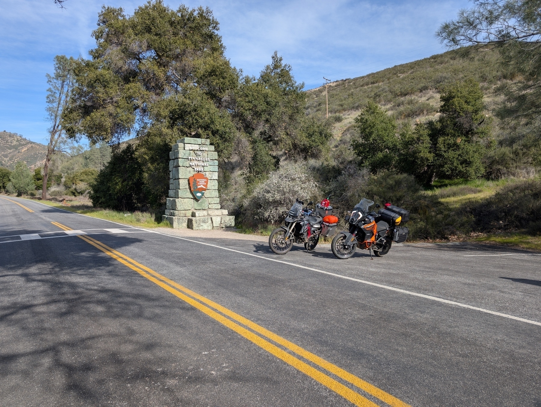
 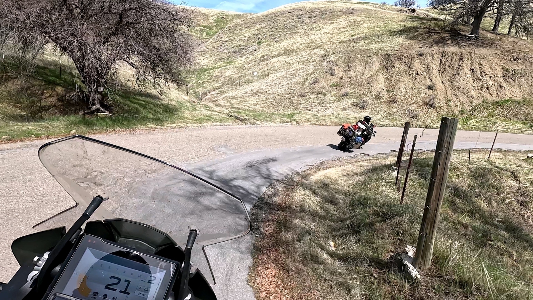 The feature of the day was switchbacks, as we ascended the mountain we found ourselves learning the limits of our bikes. I received a stern warning from my shinko 805s that they were in no way made for this as I ground down my chicken strips and leaned my bike over as far as the hard parts would let me. Taylor discovered that his center stand is the limiting factor on lean angle.As is always the case, we ended up behind a train of tourists (we’re not tourists, we’re special!). Unlike us, they seemed content to do approximately 21mph in a 45mph zone. With no safe passing areas, we putted along the last several miles to the north entrance gate for Kings Canyon National park. When it was my turn, I handed over my park pass and the worker looked at me and then looked at the multiple feet of snow on the side of the road and said “are you sure about this?” Of course I replied “No, but I’m not turning around!” He laughed, somewhere nervously, as he handed back my pass and map and we pressed on. A quick pit stop after the gate for a photo op and donning some warmer layers on our gear had us prepped to make the ride over the pass.
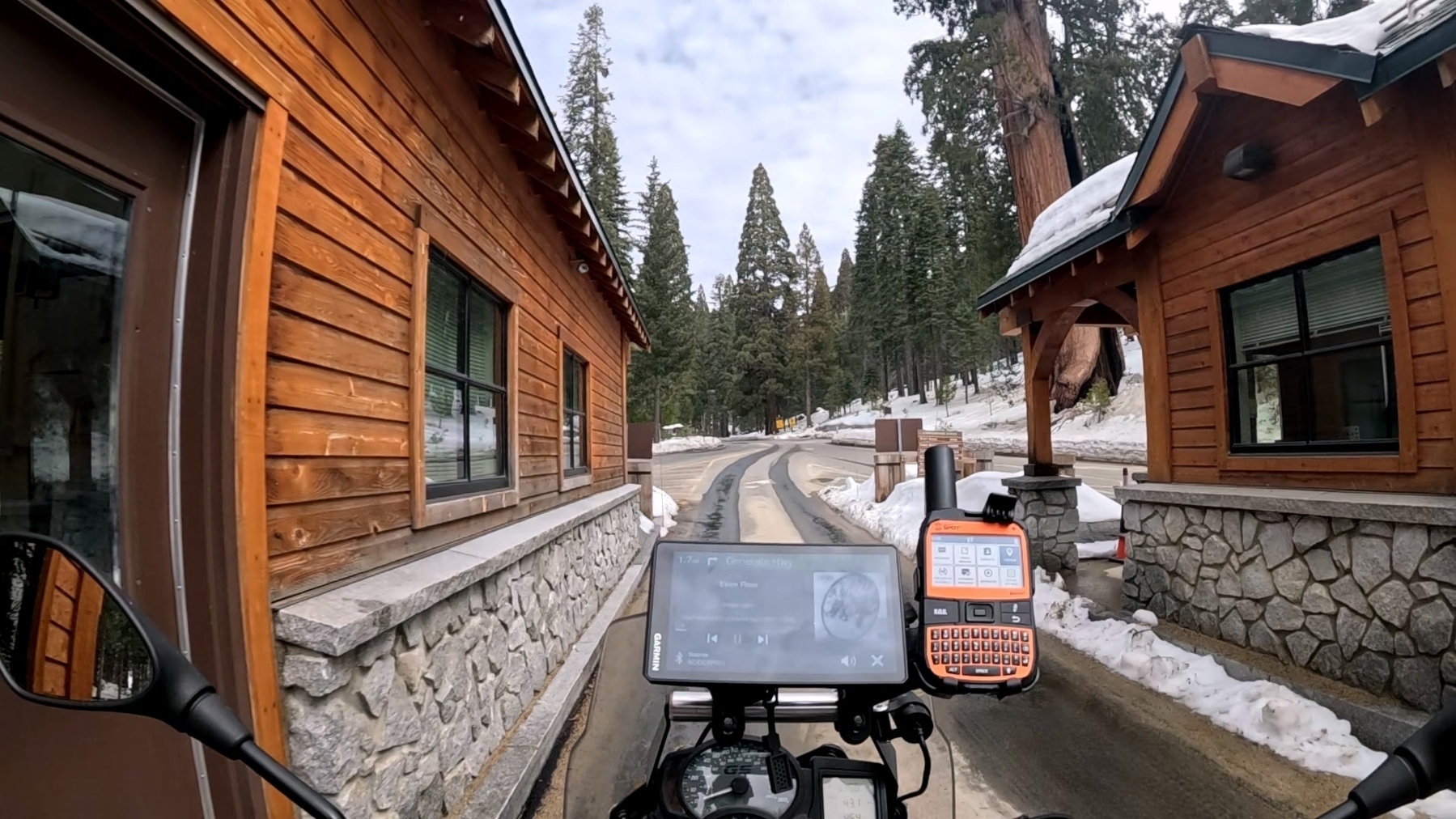
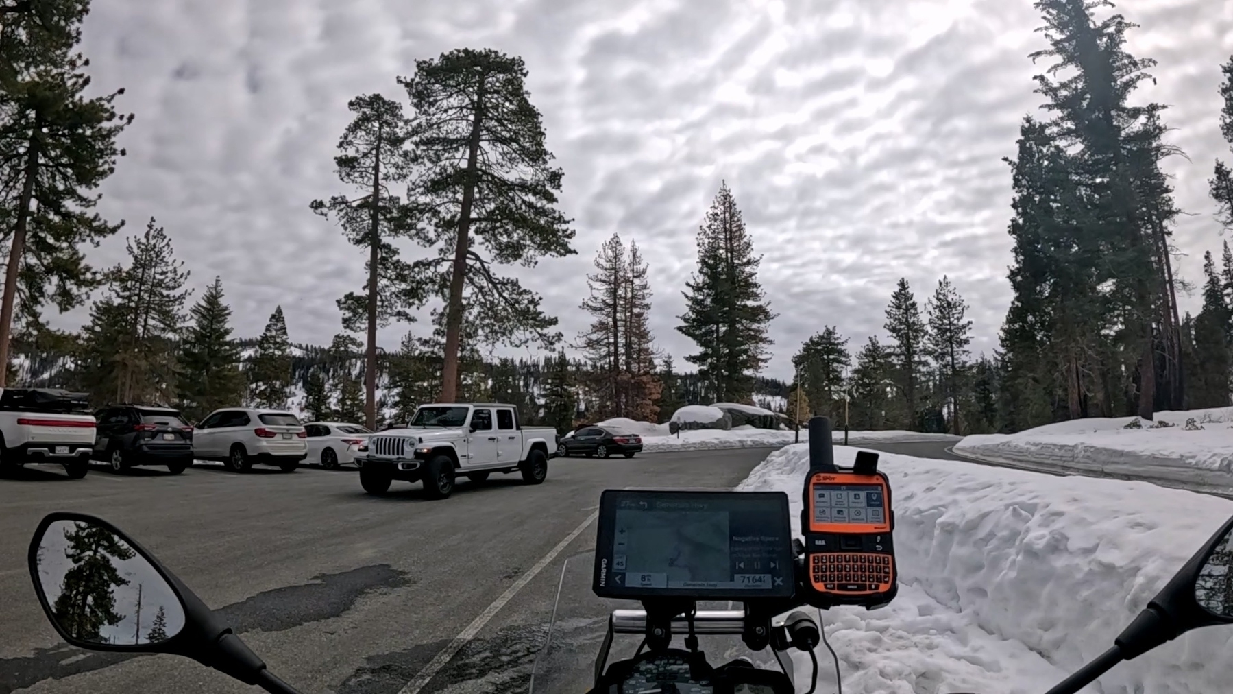
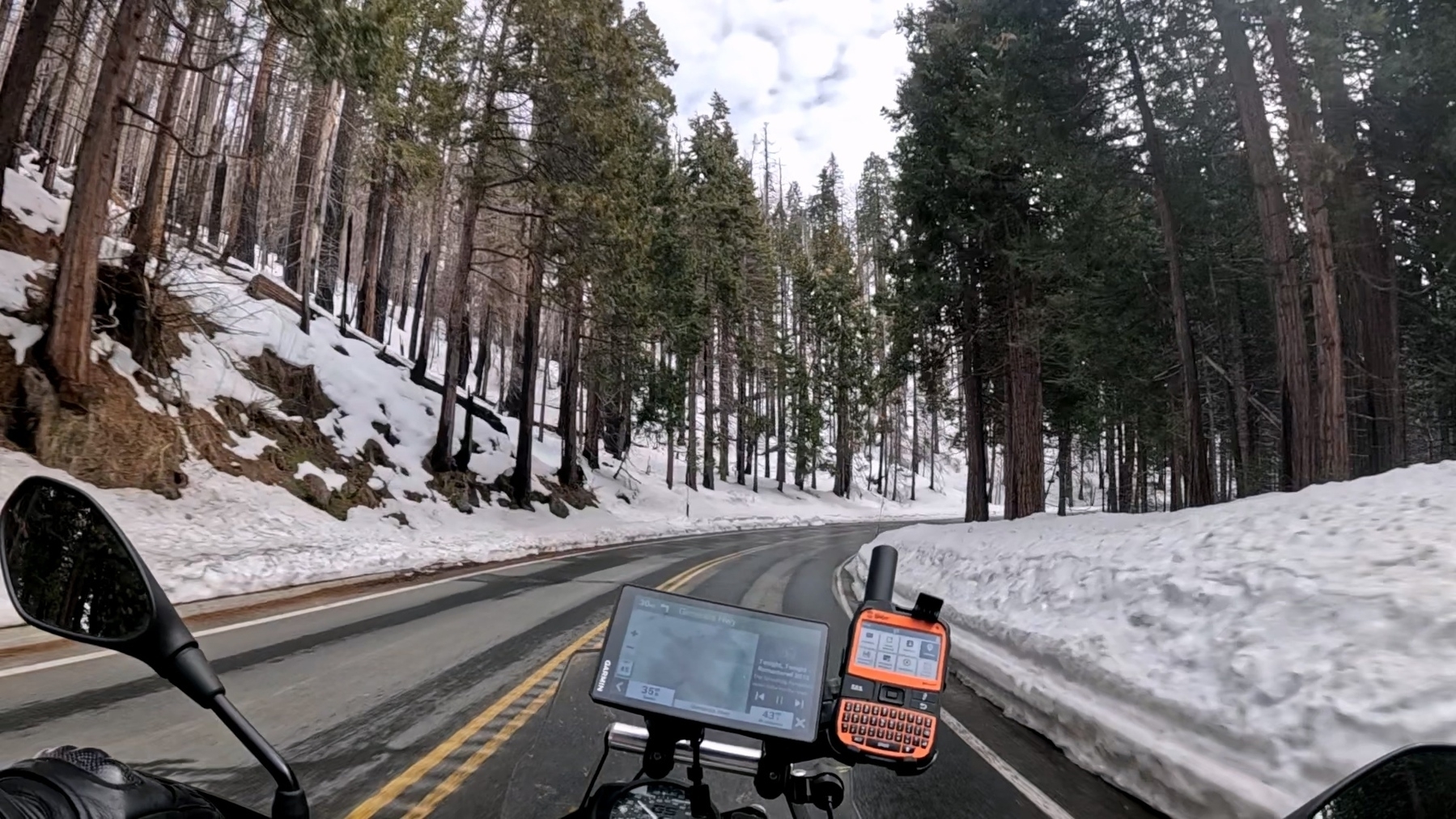
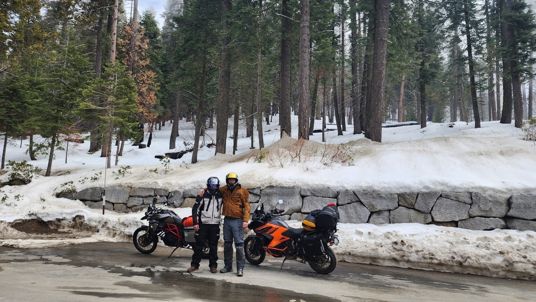 The ride through Sequoia was beautiful but the traffic was intense, nearly every viable roadside parking spot was taken and many folks were driving around looking for any open spot. Conveniently, there were tons of spots half covered in snow that were too small for a car, but perfect for a couple of motorcycles. After some time we decided to stop at a pull-off and park the bikes for a few minutes. We stretched our legs and walked around the vista point, taking some pictures and enjoying the views.
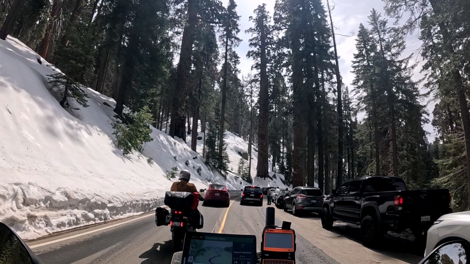
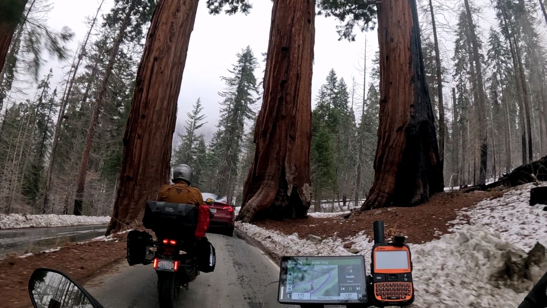
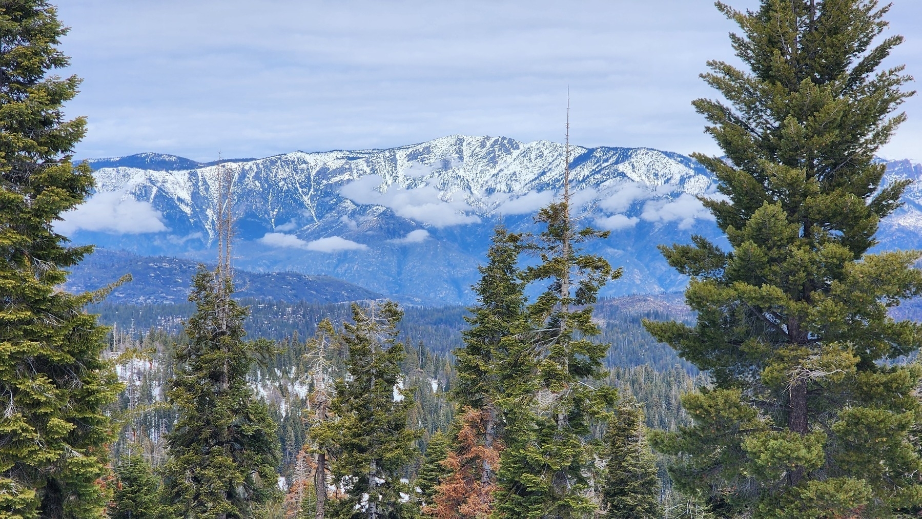 After consulting the map, we found a restaurant inside the park and set off for lunch. A quick jaunt off the generals highway put us at The Peaks Restaurant. We both ordered hamburgers and they were perfectly acceptable. A little expensive but for being served in the park, I can’t complain. The views as we descended the southern side of The Generals Highway were, once again, nothing short of breathtaking.
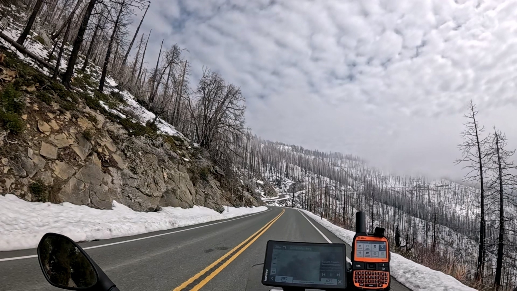
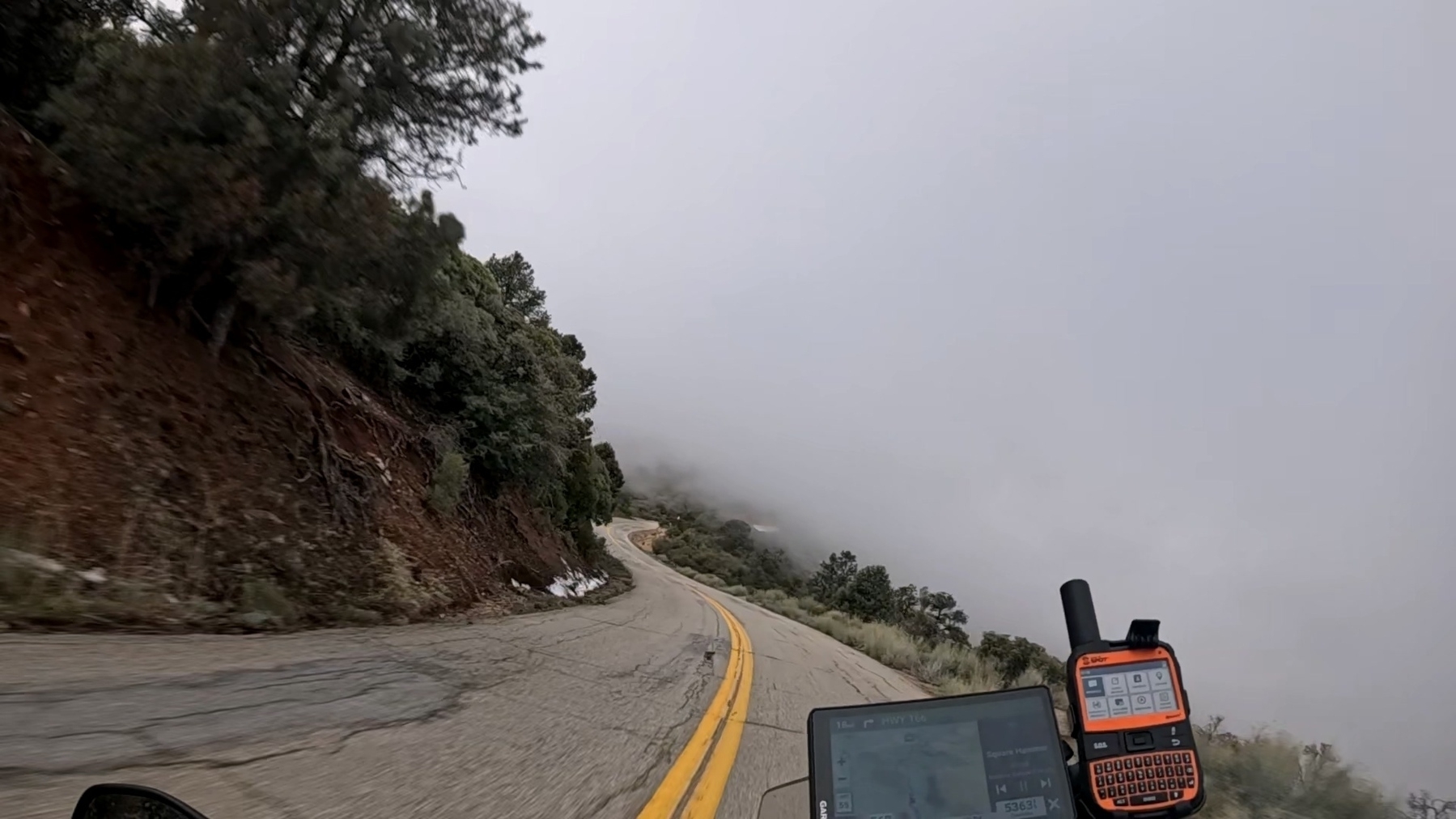
 We started above the clouds and as the altitude ticked down we passed through the clouds and punched through the bottom. Seemingly like someone flipped a switch, the snow was gone. This was some of the best roads on the trip, absolutely ruined by the general public’s total inability to safely navigate anything but an interstate. We were in a long line of cars and still people insisted on crossing the double yellow and trying their hardest to cause a head on accident.
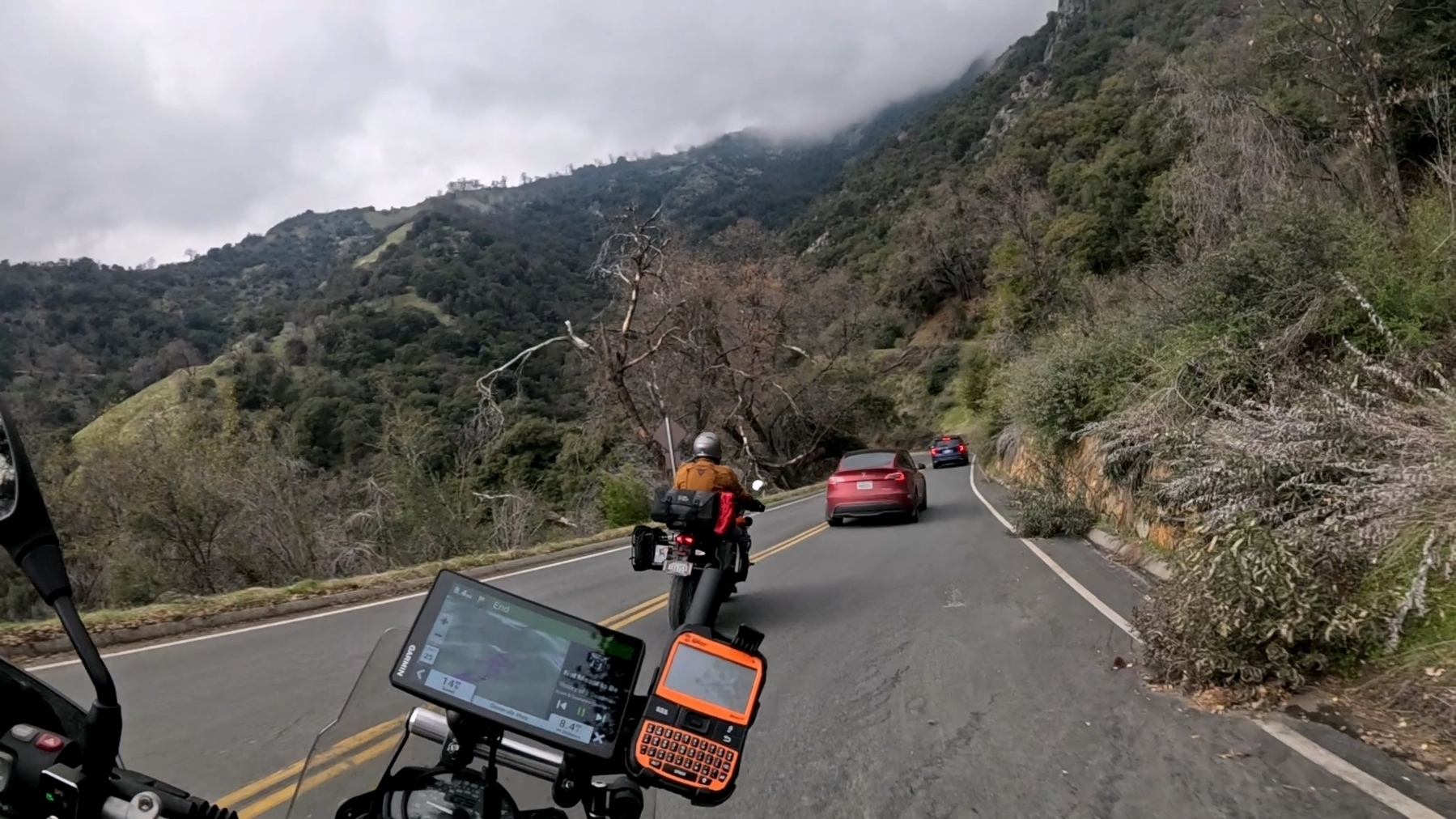
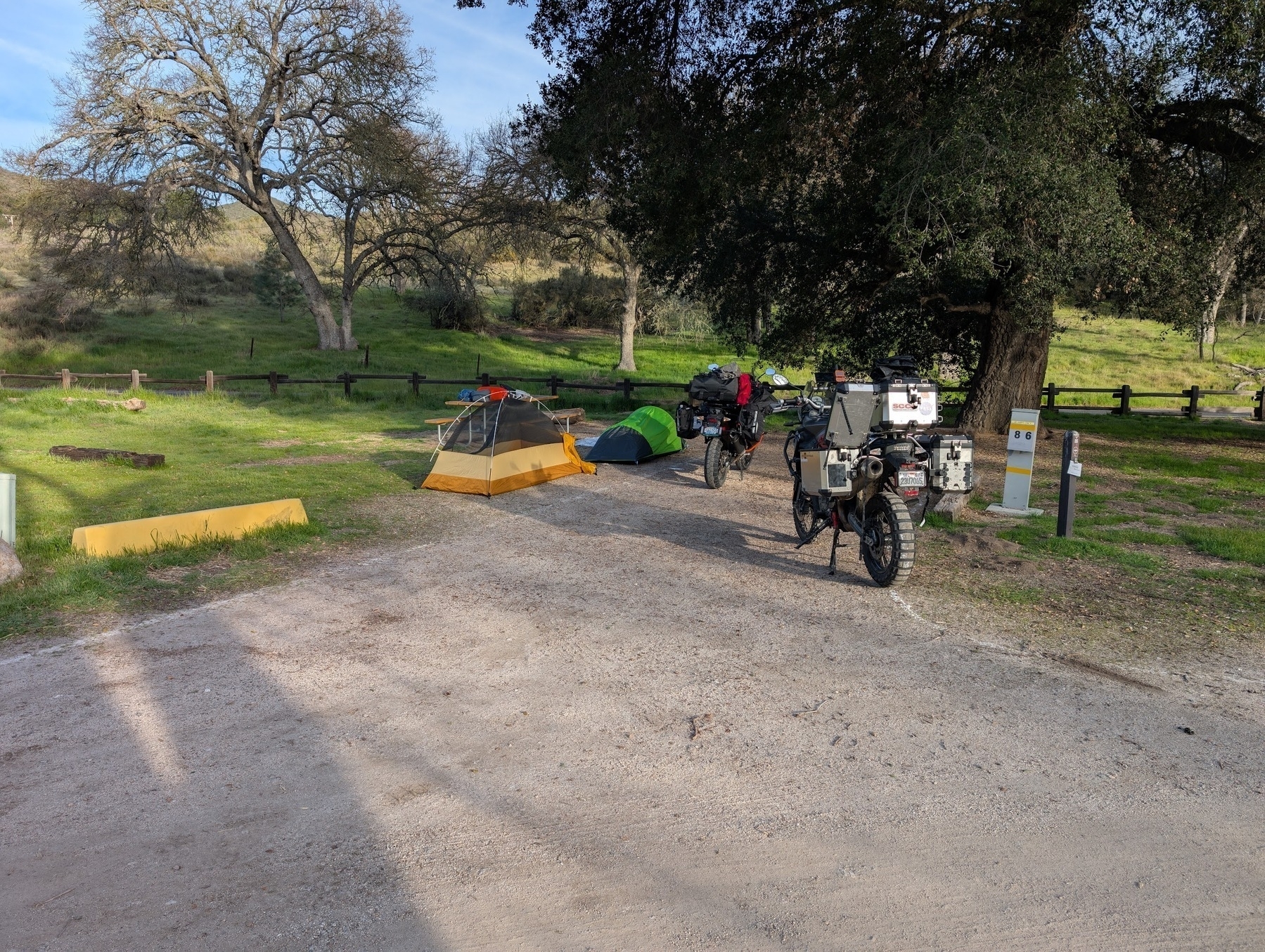
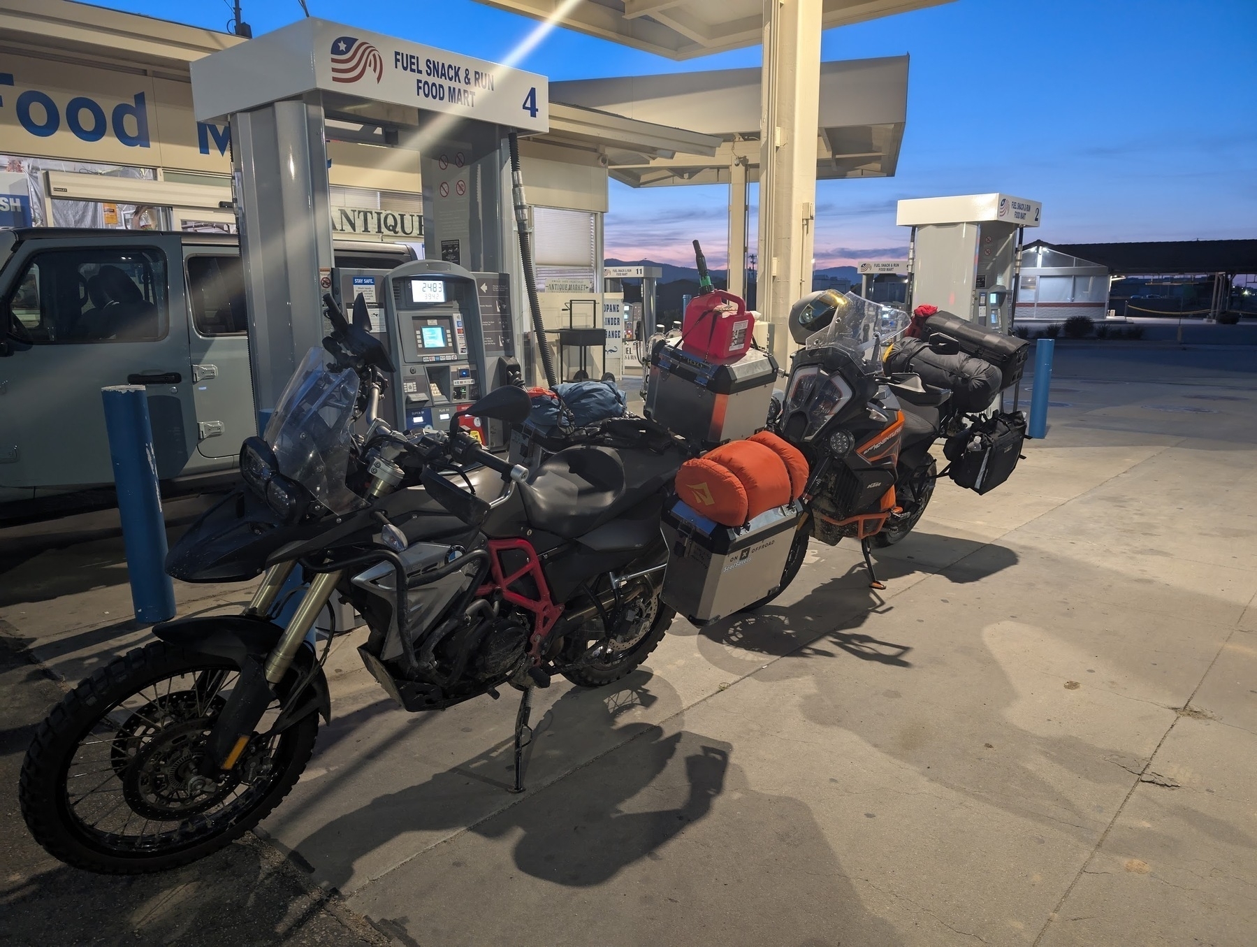
 After a thankfully uneventful ride down we arrive at Potwisha campground. Kinda. I saw the Potwisha sign but had absolute faith in my route planning abilities, the GPS still said we had a couple miles. My assumption was we had just passed a similarly named trailhead or something. As it turns out we had passed the campground. This became exceptionally clear as we reached our “destination” in the middle of the road with no available turns. Some quick maneuvering had us headed back up the hill where we quickly arrived at the campsite and began to set up.
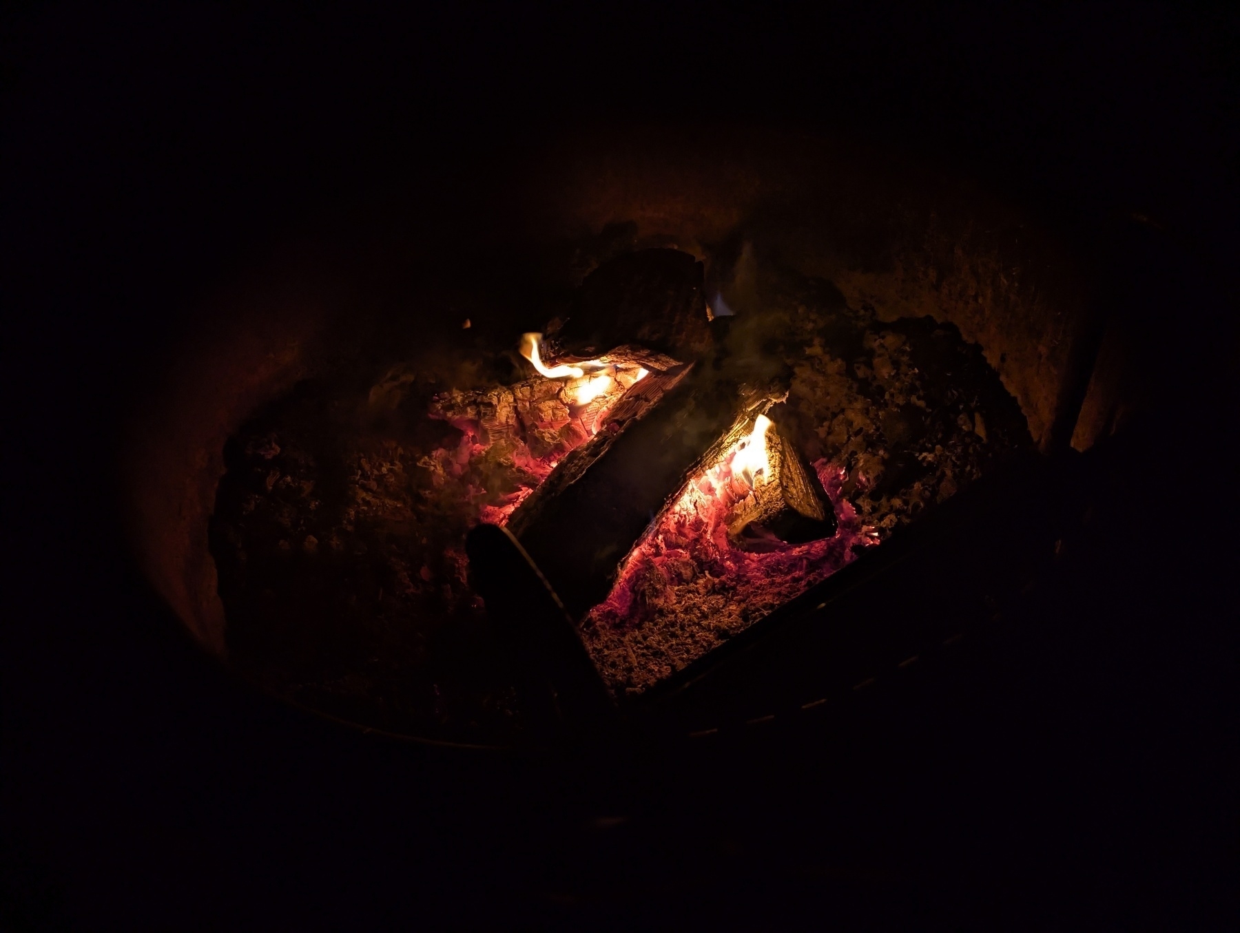
 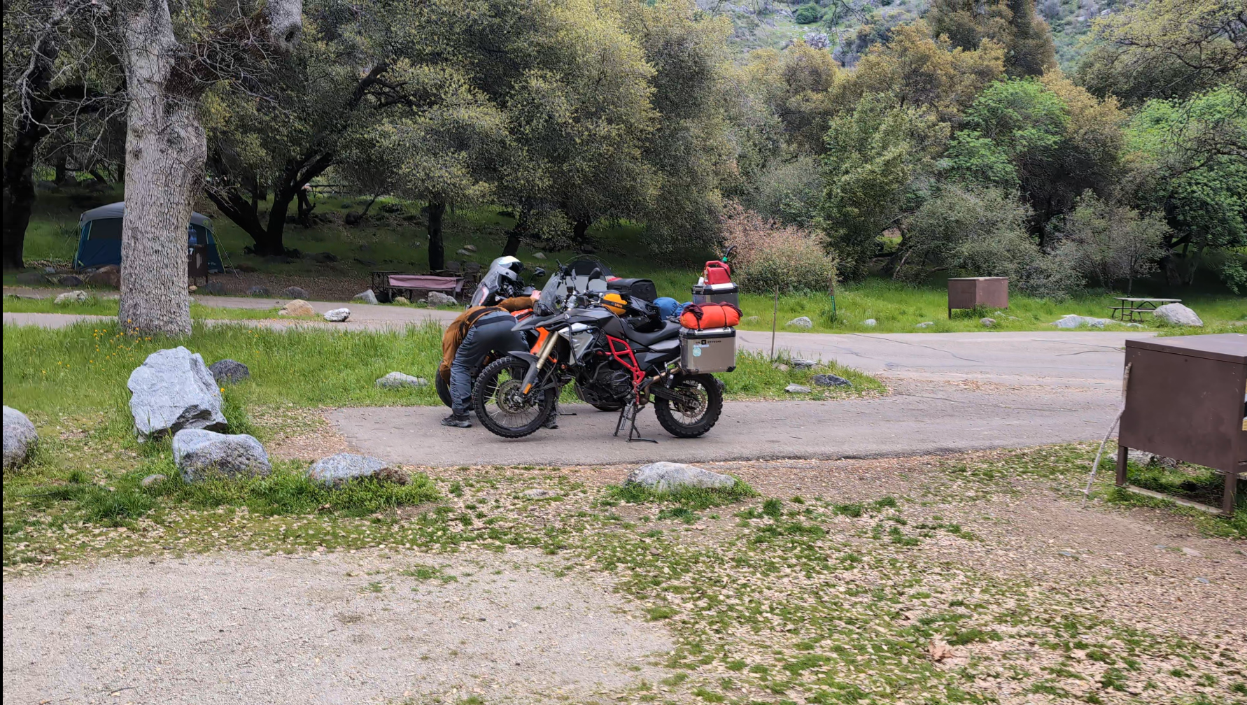 (My GoPro was dead by now, so the rest of this will just be a wall of text)Once again with plenty of daylight to spare, and no firewood to be had, I left Taylor to pack our stuff into the bear resistant food box and made my way the rest of the way out of the park in search of firewood. The first store I came across on the road out sold firewood, but ended up being out. I ended up riding another 10 miles down the road to the next town, finding firewood for sale at a gas station. Much to my dismay, this was the exact same brand of “kiln dried” firewood that we bought in Bass Lake. There weren’t any other options so I bought a couple bundles, a duraflame log and a lighter. As I’m strapping my haul to the bike a stranger walked up and asked “hey, do you have room for more wood?” I did have more room but I didn’t have any more straps. I thought he was making a joke about the wood being strapped to the bike but he opened his trunk, which was full of firewood and said “you can take as much as you want.” Unfortunately I had to turn him down since I really couldn’t take any more and didn’t want to lose a chunk of firewood on the road. A quick ride back up the hill was interrupted by a huge line on the way back into the park. Luckily a nice ranger was walking down asking who had passes. I had mine ready to go and she let me take the employee entrance, passing about 2 dozen cars. My excitement was short lived though, as I was stuck behind several maddeningly bad drivers. Absolutely zero lane discipline to be seen on the many blind corners and switchbacks. One van was going no more than 10mph and cutting at least half a lane off every corner, I honked a couple of times and they just flipped me off. Karma, however, acted just in time when they cut off a turn and nearly had a head on collision with a dually truck coming the other way. While they didn’t collide, the vans mirror struck the fender flare of the dully and was absolutely obliterated. As the van stopped at the next turn off, I gave them the worst thing one motorist can give to another. A hearty thumbs down. Eventually I arrived back at camp, Taylor had moved things into the bear locker and we were able to cook dinner and have a nice fire. After a relaxing night of sitting around the fire, telling stories and sharing a laugh, we headed to bed for our final day on the road.